SocialHams: Radio Culture, Community, and the Social Side of Ham
Radio has always been social.
We cover the old and new ways people connect through it.
Ham radio, community broadcasting, local listening, and radio culture.
Featured
Repeaters and Nets Explained
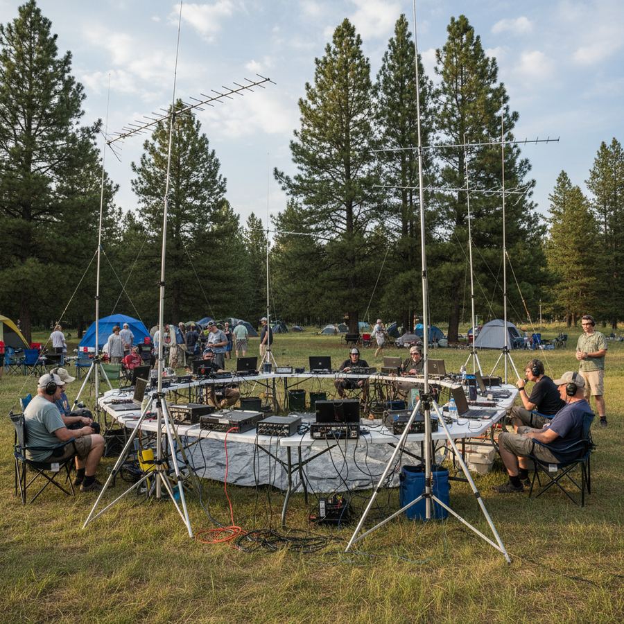
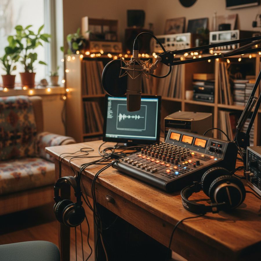
The Social Side of Ham Radio
Community Radio
Radio Guides

Radio Culture
Getting Started
Whether you are studying for your first licence or wondering what all those antennas on your neighbour's roof are for, we have written practical guides that skip the jargon and get to the point. Start with What Is Ham Radio? or jump straight to Choosing Your First Handheld.
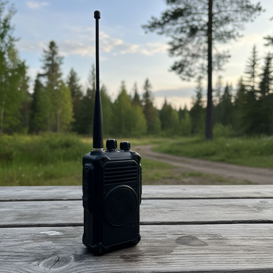
Choosing Your First Handheld
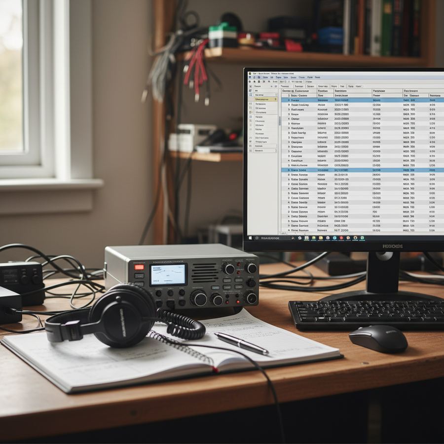
Logging and Operating Basics
Community and Culture
Radio is not just a technical hobby. It builds real connections between people who might never meet face to face. From small-town AM stations keeping a community informed to a late-night ragchew on 40 metres between operators a thousand kilometres apart, the common thread is people talking to people.
We write about why radio still builds community, how community broadcasting keeps local voices on the air, and the social side of amateur radio that keeps hams coming back to the bands year after year.
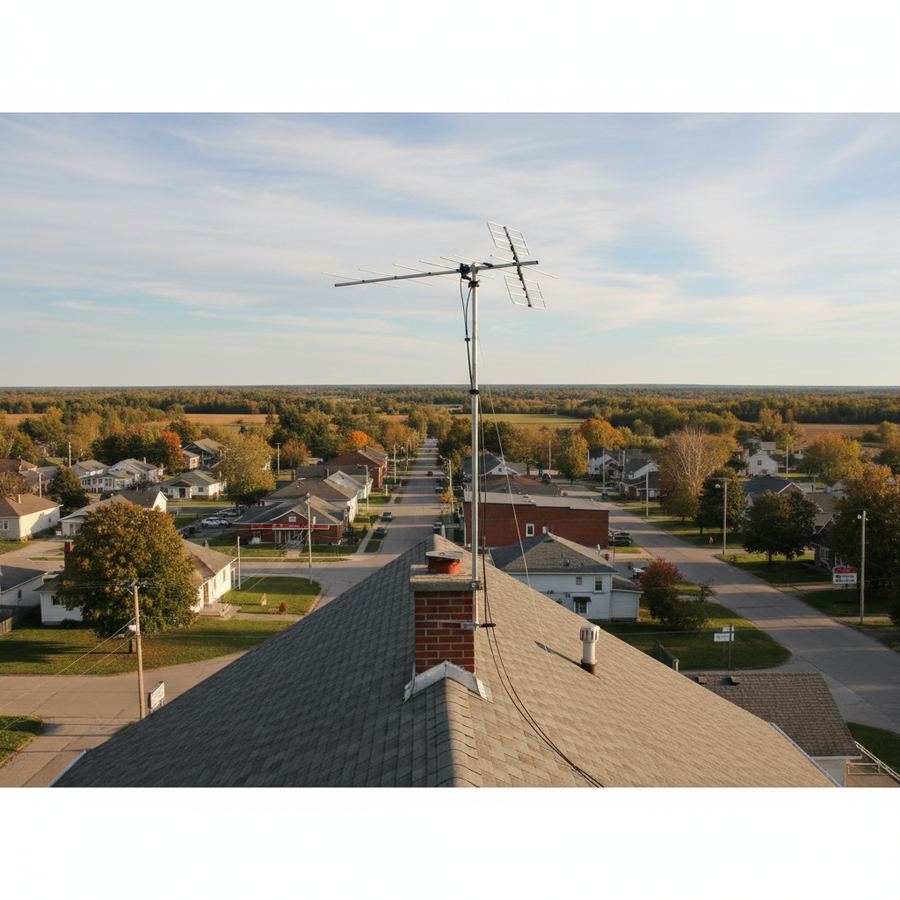
Why Local Radio Still Matters